Integrated environmental, water resources, geospatial, and data-analytics consulting — helping governments, industry, and communities across Malawi make evidence-based decisions.
 01 · FLAGSHIP
Comprehensive EIA, ESIA, and environmental compliance audits for infrastructure and development projects.
 02
02
Hydrogeological surveys, aquifer mapping, water quality testing, and sustainable catchment management.
 03
03
High-resolution spatial mapping, satellite image telemetry, and land-use change monitoring.
 04
04
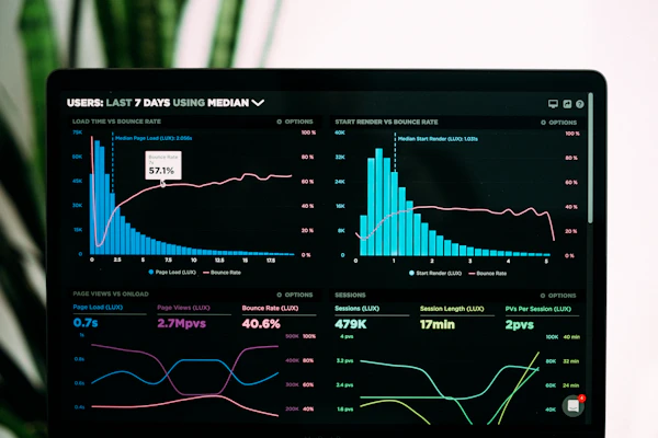
Data modeling, statistical risk assessment, and technical environmental reporting for decision-makers.
Delivering rigorous compliance and hydrogeological precision for private developers, international NGOs, and government agencies.
150+
EIAs & ESIAs Approved
100%
Regulatory Compliance
3 Nodes
Mzuzu · Lilongwe · Blantyre
50+ km²
GIS Mapped Terrain

EVIDENCE-BASED
Scientific Field Precision
AquaTerra Environmental Consulting delivers technical solutions at the intersection of land, water, and infrastructure. Operating across the Northern, Central, and Southern regions of Malawi, we combine field instrumentation with spatial modeling to deliver actionable clarity for complex projects.
We partner with government institutions, private developers, mining entities, agricultural enterprises, and NGOs—providing the empirical data and scientific rigor required to advance sustainable development across the region.
Active field operations and technical presence spanning all three regions.
Deploying calibrated water quality sondes, hydrogeological tools, and GNSS gear.
We guide projects through full lifecycle environmental clearing—from initial screening and scoping to environmental management plan (EMP) execution and independent auditing under MEPA standards.
Utilizing geophysical exploration and lab hydro-chemistry to locate high-yield aquifers, assess water contamination risks, and design sustainable catchment management plans.
Field-calibrated instruments available for immediate procurement or project lease.
 CAT #WT-402
Measures pH, conductivity, dissolved oxygen, and turbidity simultaneously.
$2,450.00 USD
MWK 4,287,500.00
 CAT #GS-109
Ruggedized field mapping receiver built for high-precision boundary telemetry.
$3,100.00 USD
MWK 5,425,000.00
 CAT #SL-054
Heavy-duty manual core drilling set for soil profile and contaminant testing.
$850.00 USD
MWK 1,487,500.00

Hydrogeological survey and resistivity profiling establishing 12 high-yield municipal borehole locations in Mzimba District.

Comprehensive Environmental & Social Impact Assessment for a 20MW solar park clearance adhering to MEPA guidelines.
Officially incorporated at the Registrar General's Office in Lilongwe, Malawi.
Our technical leads in Lilongwe, Mzuzu, and Blantyre respond within 24 business hours.